Document
Document
File Name
anal-integ-vuln-bi.pdfFile Type
PDF DocumentFile Size
1.6 MBCreated Date
2020 Apr 30Updated Date
2020 Apr 30Published on
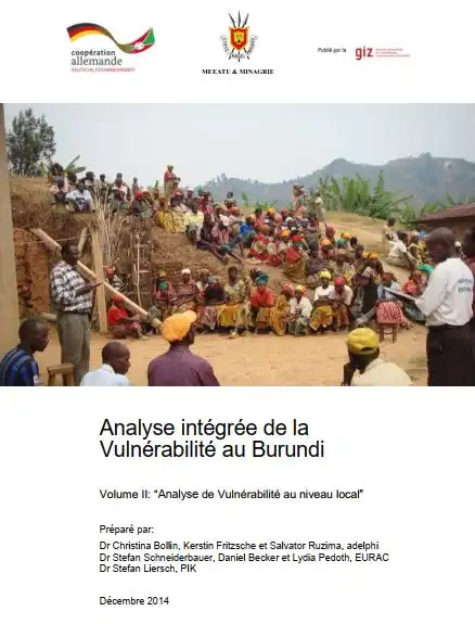
2014 Dec 01Integrated Vulnerability Analysis in Burundi: Volume II: “Vulnerability Analysis at the Local Level”
This local vulnerability analysis follows a vulnerability analysis at the national level, which made it possible in particular to identify “hotspot regions” in terms of Burundi's vulnerability to erosion and drought in the face of the consequences of climate change (see chapter 2 of this report).
Three 4th or 5th order sub-watersheds (“mini-basins”) vulnerable to current climate variability and future climate change have been identified within these “hotspot regions” in order to benefit from specific climate change adaptation measures, on a pilot basis. These three sub-basins are located in the commune of Mutambu and in the commune of Isare in the province of Bujumbura and in commune Marangara in the province of Ngozi.
Prior to the implementation of appropriate adaptation measures, an analysis of local vulnerability was carried out in these identified intervention areas and this document summarizes the results of this study.
The objective of this study is (i) an integrated vulnerability analysis at the level of the three intervention areas identified by the ACCES team and the technical partners presenting the level of vulnerability of the areas and the expected impacts of climate change, (ii) the identification of localities and groups especially vulnerable, (ii) the identification of specially vulnerable localities and groups, (iii) the identification of specially vulnerable localities and groups, (iii) relevant vulnerability factors, and (iv) adaptation measures recommended by local actors.