Document
Document
File Name
carte-georeferenc-reserv-nature-forest-mong-nkayam-rumong-kignen-vyand.pdfFile Type
PDF DocumentFile Size
1.02 MBCreated Date
2023 Jan 16Updated Date
2023 Jan 16Published on
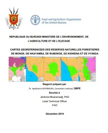
2019 Dec 01Georeferenced maps of natural reserves in southern Burundi
The Government of Burundi, supported by the FAO representation in Burundi, has commissioned work to provide a georeferenced cartographic coverage of forest natural reserves in the South, which will serve as a “cartographic support” for the development and management plan of these protected areas.